
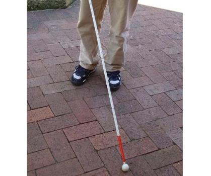
The white cane has been a successful innovation for decades, and by using special multi-sensor array technology, the Indoor Navigation Project will enable people who are blind to sense their surroundings beyond the cane's tip.
Project leader Dr Iain Murray of Curtin's Department of Electrical and Computing Engineering said the gadget would resemble a smartphone and would sense an entire room's features, build a virtual map of it and communicate this to the user.
"A cane is beneficial for going up and down stairs or detecting if obstacles are right in front of you, but is not capable of telling you if something is more than a metre or two away," Dr Murray said.
"What we are developing is a multi-sensor device for people who are blind, who are also often hearing impaired, to tell them what is exactly around them from wall to wall."
Dr Murray said five students will each take on the development of one type of sensor, whether it be sensing the change of velocity, images or noise. The sixth student will be responsible for pooling the sensors into one gadget, which will ultimately contribute towards building a map of the indoor environment including both moving and non-moving objects.
"While many indoor locations already have a map that people who are blind can use to find their way around, they don't allow for change and can therefore be quite dangerous," he said.
"For instance, a conference room is forever changing, the chairs are always set up differently and people will move around. We are developing a map system that can adjust for these movements, and then upload this new data to a network for the next person who is vision impaired to enter the room and use on their own device."
The five research projects will develop sensors to: determine the direction and distance a user walks whilst indoors along with identifying features such as stairs and inclines; extract the edges of paths and obstacles using stereoscopic cameras, classify what they are, and build a map of the environment using image processing techniques; pick up audio cues to help locate and track moving objects from a mobile receiver; allow for efficient methods of communicating map and sensor data across networks, to ensure data is available before a user collides with an obstacle (in less than 1/6 of a second); and enable efficient methods of security and trust within networks, to eliminate risk of leading the blind into dangerous situations.
Once obstacles are identified, a map will be constructed using a Building Information Modelling system suitable for the vision impaired, developed in the sixth research project.
Dr Murray said building owners do not need to put in any infrastructure for this technology, as the sensors discover everything required for the maps.

